Hiking Orange Creek Conservation Area - North Tract
Location and Hiking Trail Maps with Nature Viewing Information and Photos
Alachua County
Near Hawthorne, Florida
Entry Fee: None
Traffic: Light
St. John’s River Water Management District Official Page

PDF Trail Map ^
Interactive Trail Map at AllTrails >
Location and Basics
Ready for some shaded hiking, biking, horseback riding and even camping where you feel you have the place to yourself? Look no further than the North Tract of Orange Creek Conservation Area!
NOTE: See also the Orange Creek South Tract in Hiking Marion County.
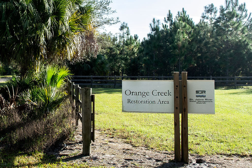
North Entrance
After parking in the ample area at 22501 SE 219th Avenue (Google Map below) you will immediately find a gate. A single trail head serves as a short spur leading to both a red blaze and a white blaze loop. Each of these is a little over 2 miles for a short hike, or combine them as a figure 8 for about 5 miles including the entry spur.
The trails are well-blazed. If you come across instances where the trails seem to diverge into different directions, just stop and look around. You will almost certainly see one or more trail markers in red or white to guide the way. The only exception to this is on the white trail a couple of miles in. You’ll come to a grove of young pines, and the white markers disappear for over half a mile. It seems that some trees were cleared taking the markers with them.
I suggest using my AllTrails App interactive map or PDF map to stay on course with certainty.
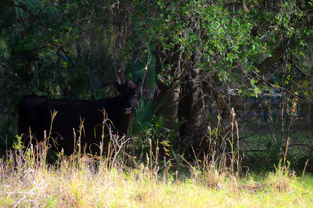
Cattle are common
About the Orange Creek Conservation Area Hiking Trails
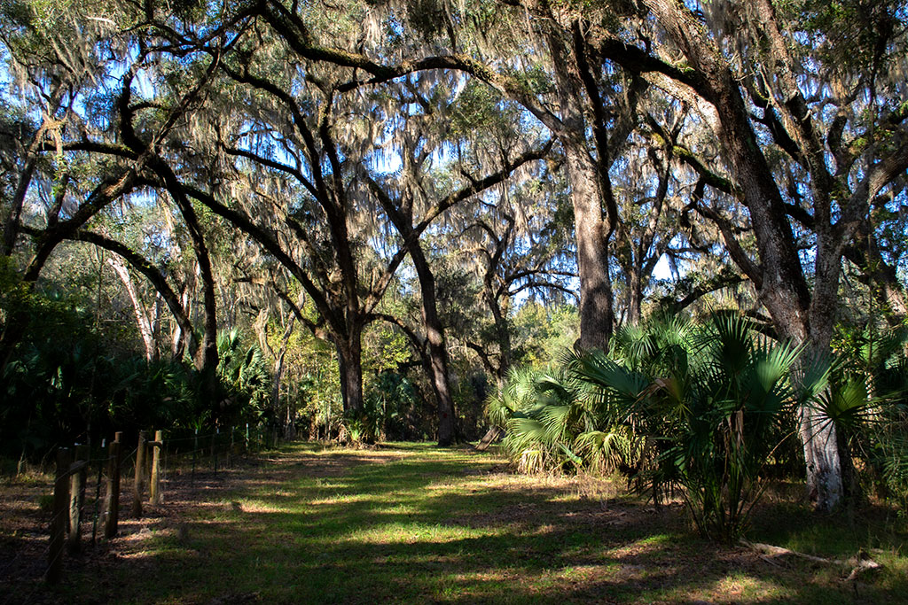
The trails are great for hiking or riding with about 70% shade through groves of live oak, laurel oak, red maple, and other hardwoods with a few open areas amid the longleaf pines. You will likely spot deer – hunting in season is allowed here – but the most common animal is domesticated cattle. They seem used to humans, just be sure to close any gates you pass through.
While the trails are wide and the grass quite short, you may come across fallen trees to scuttle over. I only came across one. It seemed to be down for awhile, so there may not be active maintenance here. For this reason, and the soft sand in portions, it’s not really a great mountain biking area though biking is allowed.
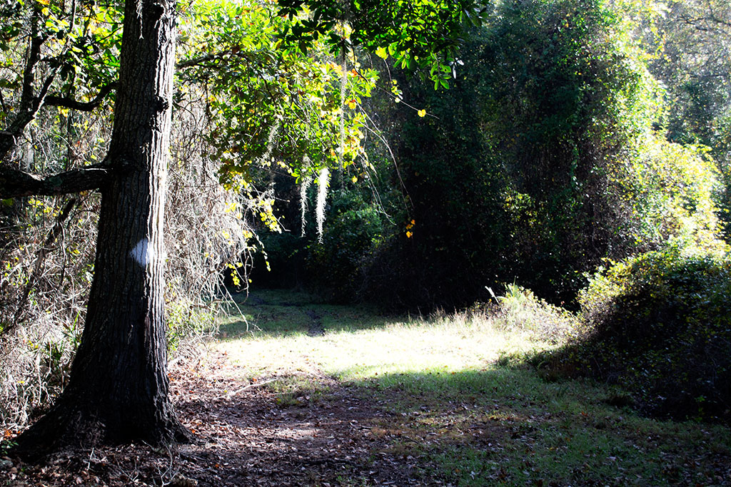
Trail Images Below
![]()
Wide, marked trails

Less shade amid young pine
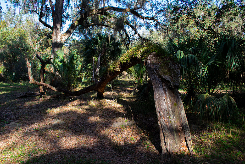
Fallen tree with resurrection ferns

Autumn trail at Orange Creek
![]()