Sweetwater Preserve Hiking Trails
Location and Hiking Trail Maps with Nature Viewing Information and Photos
Hiking Sweetwater Preserve
Boulware Springs Park Entrance
Alachua County
Near Gainesville, Florida
Entry Fee: None
Traffic: Light to Moderate

PDF Trail Map ^
Interactive Trail Map at AllTrails >
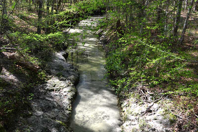
Get ready for excellent nature viewing when hiking Sweetwater Preserve in Gainesville, Florida. Plenty of American Beech and oak to provide ample shade for most of the hike too.
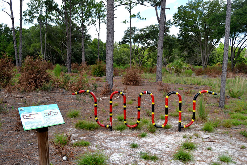
Bike Rack
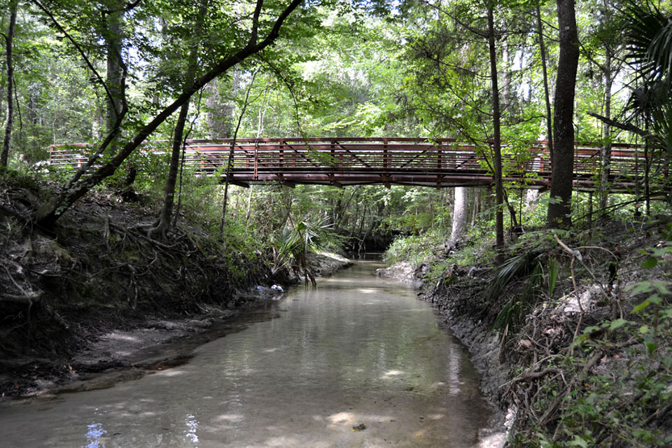
It is really two hiking trail loops, an east and a west loop, connected by a bridge over Sweetwater Branch Creek to form a sort of figure eight for your hike. It has two entrances, a west entrance off the street where there is parking, and an east entrance accessible by parking at Gainesville Bike Trailhead Parking (Google Map below) near Boulware Springs State Park and turning right (southeast) up the Gainesville-Hawthorne State Trail after a couple tenths of a mile. Taken together, the trails will lead you about 4 miles.
What Are the Trails Like Hiking Sweetwater Preserve?
 The trails are relatively hilly for the region but common to Gainesville, with a good number of sub-trails. Maps are
provided when they are in stock at the entrances helps you find your way, and the major intersections are numbered by posts.
Trail Images Below
![]()

Swamp

Frog

Eastern-Eyed Click Beetle
![]()