Caravelle Ranch Wildlife Management Area Hiking Trails
Location and Hiking Trail Maps with Nature Viewing Information and Photos
Hiking Caravelle Ranch, WMA
Putnam County
Palatka, Florida
Entry Fee: None
Traffic: Light
Florida Fish and Wildlife Commission Official Page

PDF Trail Map ^
Interactive Trail Map at AllTrails >
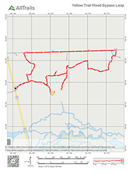
Flooding? Alternate Route PDF ^
Interactive Trail Map at AllTrails >
Location
Hiking Caravelle Ranch WMA provides a 6 mile trail loop and other trails. This is a great place for a taste of backpacking in Florida. Just wait until after hunting season! The Wildlife Management Area lies just a bit down the road from Caravelle Ranch Conservation Area on Florida 19. See the Google map below to get you to parking area. The distinction makes a world of difference for a day on the trails. And Caravelle Ranch WMA offers quite a lot of hiking!

Trail
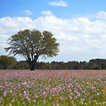
After pulling over into ample parking, you can grab a map. The routes includes white, yellow, and red trails. It’s really one of my favorite hiking areas in Putnam County as you can experience dense, subtropical forest full of pine, southern magnolia, American sweetgum, and bald cyprus one moment, and large, open fields of of downy lobelia and sheep’s sorrel the next.
The fields of wildflowers are amazing after winter. You’ll also find plenty of opportunities for birding and scouting other wildlife.
What You’ll Find Hiking Caravelle Ranch
The trails altogether offer 8-10 miles of hiking loops through the woods with the longest. The longest single loops (white blaze, mapped) runs about 6.2 miles. Trails are designated by the St. Johns River Water Management District as multiple use, so whether on bike or by foot, you will enjoy your time here and could likely spot deer, birds, and even bears.

Stop and have lunch!
The trails are generally wide and well-packed. The white trail loop sometimes floods. For that reason, I have an alternative above in the maps section. Simply double back and take the yellow trail. It bypasses the frequently flooded portion and leads you back onto the white trail. By Florida standards, the tick and mosquito levels are quite low since there is little standing water nearby.
Most of the trail provides shade. The exception is the last leg of the trail, assuming you go counter-clockwise. This long, straight portion follows Boundary Road, a lightly traveled packed earth road. Here you will find yourself in the open sun, with a pretty field to one side and woods to the other.
As always, take nothing but pictures and leave nothing but footprints.
Trail Images Below
![]()

Field of Flowers

Bald Cypress
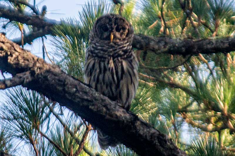
Barred Owl
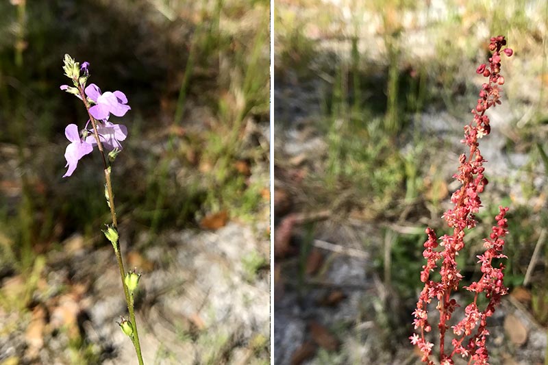
Blue Toadflax and Sheep’s Sorrel

Polygala lutea – Orange Milkwort
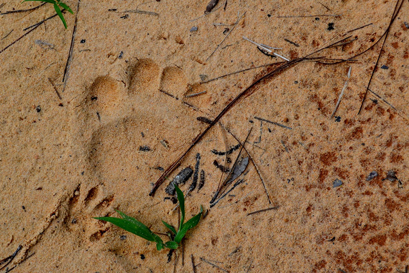
Bear Paw

Pine Forest
![]()