Hiking Monte Vista Trail - Tortugas, A-Mountain
Location and Hiking Trail Maps with Nature Viewing Information and Photos
Dona Ana County
Las Cruces, New Mexico
Entry Fee: None
Traffic: Light
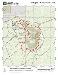
PDF Trail Map ^
Interactive Trail Map at AllTrails >
Funny thing about hiking beyond your twenties. Almost no one is left. And the very few who still get outdoors are very hardcore!
My first time up A Mountain from the Monte Vista Hiking Trail, I huffed and puffed, very proud of myself at the pace I kept. Then I heard someone come up behind me, jogging. He was nearly twice my age, and he just flew on by me. We chatted at the top. He was in his late sixties then, and he told me that he’d taken this loop every day for the past 30 years.

Yucca in Bloom
And that is the beauty of the Monte Vista Hiking Trail. You see all sort of desert plants and flowers, and you get a great view from the top of Las Cruces and the Organ Mountains. Unlike nearby Soledad Canyon or Desert Peaks National Monument, there is a very local, old “New World” feel. The people I meet there – and the trail is lightly trafficked – tend not to be tourists or transplants, but hikers and mountain bikers very tied to the area by deep roots. They are good people, and this loop is easily one of my favorite hikes in the area or anywhere.
From CO 77 (Dripping Springs Road) out of Las Cruces, watch south, to your right, just after you pass Tortugas, A-Mountain, for a dirt parking lot and sign for Monte Vista Trail. Upon parking, head south by foot or mountain bike, hugging the foothills as the trails turn west. This is an amazing area, and there are plenty of trails to explore if you deviate from the mountain. Thus plus an abundance of growth including ocotillo, prickly pear, various yucca and wildflowers, away from the pervasive creosote, make return visits year around very worthwhile.

Tortugas Mountain Observatory
After a mile or so, will see a paved, switchback road leading up to the Tortugas Mountain Observatory and la capilla (little shrine) at the apex of the mountain – the culmination of the pilgrimage Feast of Our Lady of Guadalupe. There is also a shrine dedicated to Miguel Silva, whose company I much enjoyed while working with NMSU and studying at DACC. This paved area is a good workout and tougher than it looks, always challenging whether you crawl, walk, or move onto running.
From the top, you have great views of the Organ Mountains and of the city, as well as a chance to visit the shrines. Coming down the west face is rocky, so your joints can get a workout. The trail then loops back east along the southern foothills back to where you started. At it’s shortest, without deviation, the loop is just under five miles with close to a 900 foot change in elevation.
Trail Images Below
Back to Mountain Time Hiking Trails >

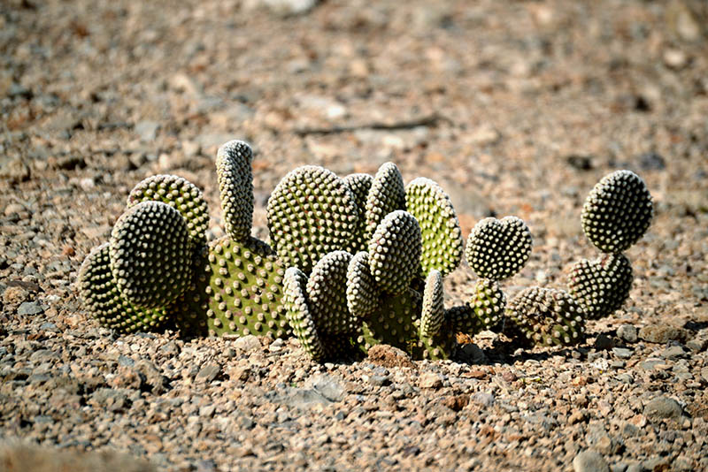
Hedgehog Cactus
Opuntia – prickly pear
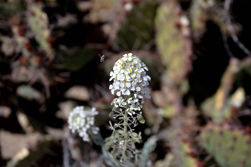
Spectacle Pod
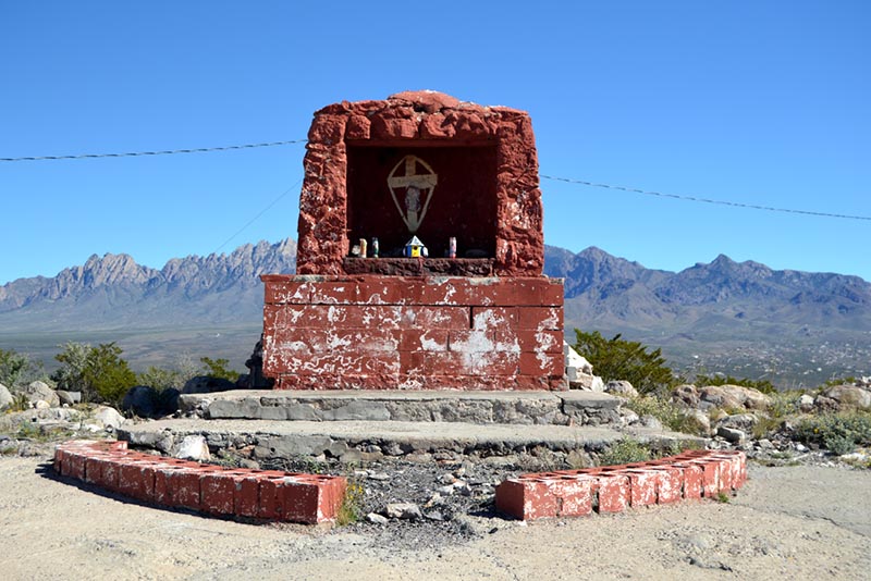
Our Lady of Guadalupe Shrine atop Tortugas

Organ Mountains from Atop Tortugas
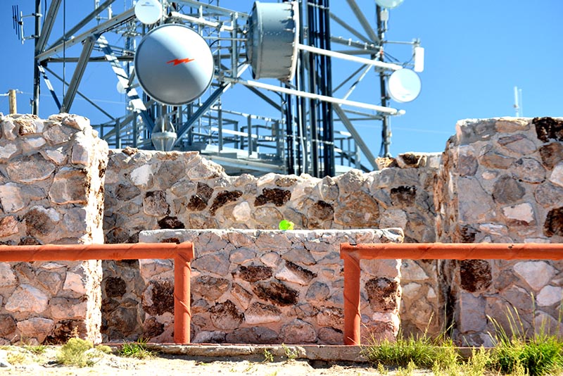
KRWG Transmitter atop Tortugas