Cochran Mill Park – Henry’s Mill Falls Yellow Trail
Location, Trail Maps, and Info for Cochran Mill Park
Location Trail Hiking Maps with Images
Fulton County, Georgia
Official Website: Cochran Mill Park
Entry Fee: $5 per passenger vehicle
Traffic: Heavy

PDF Trail Map ^
Interactive Trail Map at AllTrails >
Cochran’s Mill Park in Fulton County Georgia offers dozens of miles of hilly, well-maintained forest trails for hiking, mountain biking, or horseback riding.
You’ll find ample parking, tails that are both well-blazed and well-maintained, and there is even a playground as well as running water facilities near the parking area. All this in the rural hills within a short distance from either Atlanta or Carrolton. I arrived on the first warm day in March, so it’s not surprising that not only were there plenty of other adult outdoor lovers, but even school buses were bringing children in.
Given the ample number of long trails to choose from, the crowds thin out relatively fast. Where Cochran Mill Park misses the mark is in not designating at least certain portions of trails for either mountain bikers or hikers. Equestrian trails branch off for long segments before re-emerging with the main trails. Given the great number of trails that are constantly intersecting, it would be quite easy to designate some portions for hikers and other for bikers. Instead, while most were polite, bikers are constantly slowed down by hikers on the narrow trails, and hikers are always aware that they may be run into and stepping aside. Without adding to the trails, it would be very easy to designate intersecting and diverging trail segments to either hikers or bikers at least half the time – as has been done with horse trails – and make the experience more enjoyable for all.
I hiked close to 11 miles in late March when the trees were just budding but there plenty of flowers to enjoy including Georgia Painted Buckey, Redbud, Flowering Dogwood, Mountain Silverbell, and others. Bird calls were voluminous in the morning and, though I didn’t spot one, I could hear pileated woodpeckers all around.
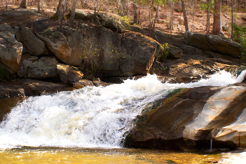
Eleven miles with ample hills provided a nice challenge with over 500 feet of altitude gain. The map provided below is a nice approach, with some loop, some repeated trail, and a visit to a small but rushing falls of Bear Creek.
Trail Images Below

Hiking Trail

Forest Shadows

Standing Water

Georgia Buckeye

Mountain Silverbell
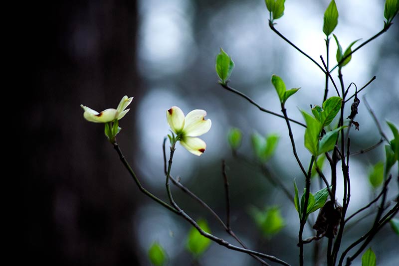
Flowering Dogwood