Baylor Pass - West Trailhead
Hiking Baylor Pass West Near Las Cruces with Location Map
Dona AnaCounty
Las Cruces, New Mexico
Entry Fee: None
Traffic: Light
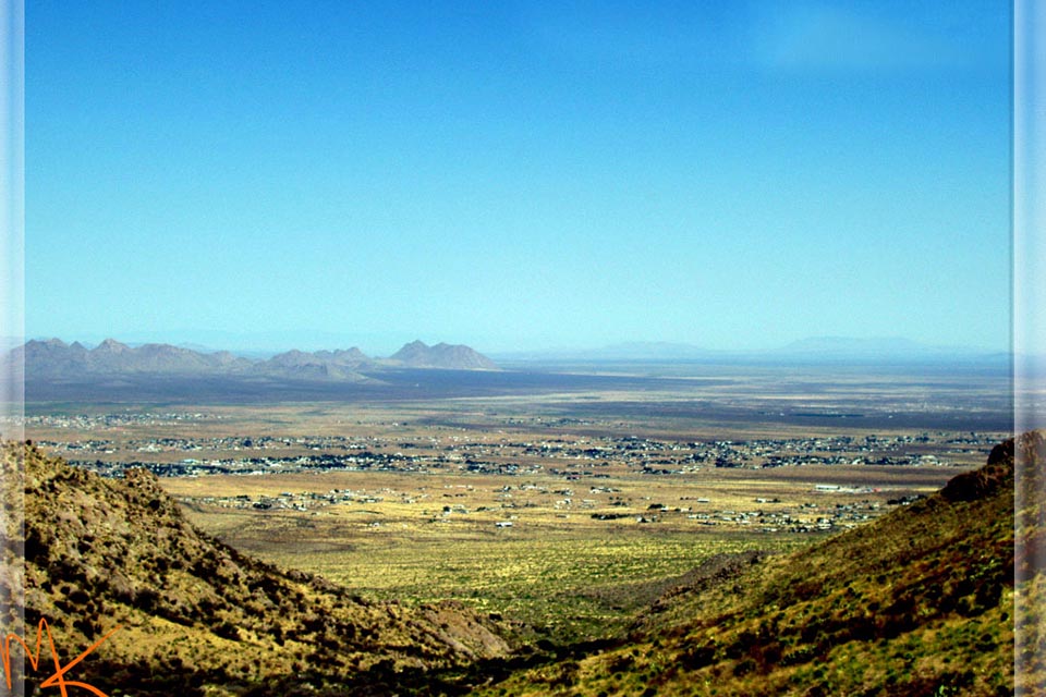
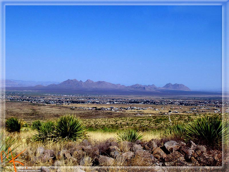
While admiring the the Organ Mountains with various hiking trails, don’t miss the Baylor Pass West Trailhead. While this is a short hike, under two miles from the apex, the long steady incline remains a challenge at any skill level. If it becomes too easy to hike, try a jog. Or a mountain bike!
From Las Cruces, take 70 east toward the mountains. Just before the ghost village of Organ, when the mountains loom large, watch for Baylor Canyon Road to your right. Turn, and you are just a little over mile away from the sign for parking at the trailhead.
The Google Map below will get you right there. Don’t forget to turn around now and then. Even before you reach the summit, the views of Dona Ana Peak and town to the west are amazing.
Trail Images Below
Back to Mountain Time Hiking Trails >

Entrance, Baylor Canyon Rd
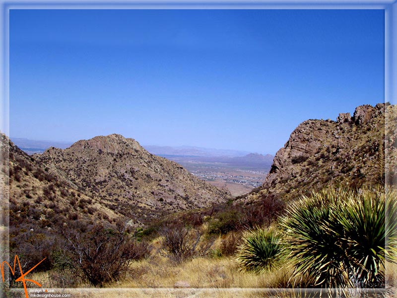
Beginning Ascent
Near Summit
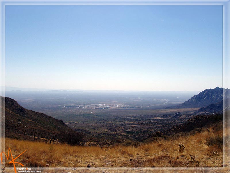
White Sands Missile Range HQ from Baylor Pass West