Scotts Bluff National Monument
Location Map and Photos from the Scottsbluff-Gering Nebraska National Monument
Scotts Bluff National Monument rises just 15 minutes outside the towns of Scottsbluff and Gering in the southwest panhandle of Nebraska. It is part of the historic Oregon Trail and offers many opportunities for sighting birds and other wildlife.
Admission to the park is $5 per vehicle, or $15 for an annual pass which includes the Fort Laramie National Historic Site.
You can drive to the Scotts Bluff summit, but the hike is worthwhile. The trail is paved, runs 1.6 miles with a 1600 foot gain in altitude. It is an easy to moderate hike, challenging only due to a steady incline.
Do you like facts? Me too! Here’s one: The Lakota Sioux called Scotts Bluff Me-a-pa-te, meaning “hill that is hard to get around.”
Trail Images Below
Back to Mountain Time Hiking Trails >
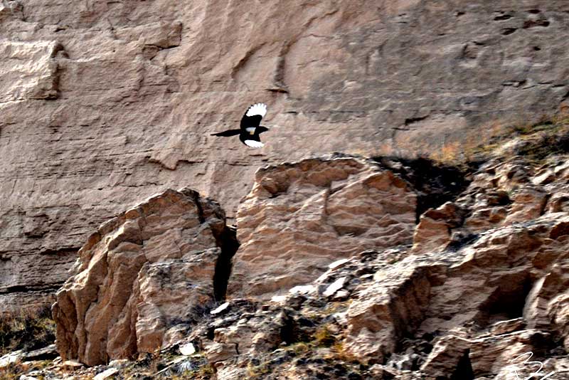
Black-Billed Magpie

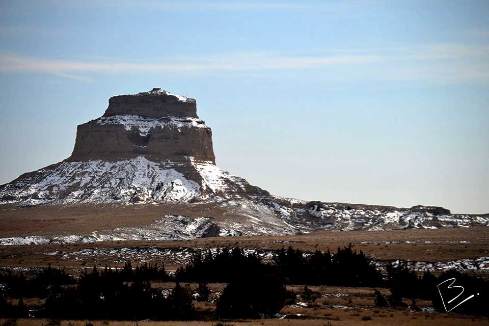
Chimney Bluffs

Atop Scotts Bluff

Doe

Legacy of the Plains Museum