Hiking Longleaf Flatwoods Reserve
Photos and Information Plus Location and Trail Maps
Longleaf Flatwoods Reserve
Alachua County
Hawthorne, Florida
Entry Fee: None
Use: Hiking, Horseback Riding
Traffic: Light
St. John’s River Water Management District Official Page

PDF Trail Map ^
Interactive Trail Map at AllTrails >
Getting Started at Longleaf Flatwoods Reserve
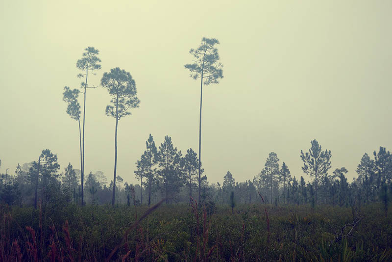
Longleaf Flatwoods reserve provides one of the best winter morning hikes you’ll find. It’s easy to access near Gainesville, Florida with 3000 acres of pine forest to explore. The views are amazing whether in fog or broad daylight. And I added the parking location to Google Maps to get you there! See below.

Trail
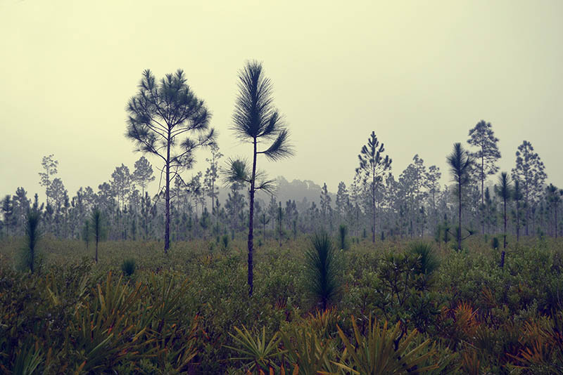
The reserve offers miles of trails for both hiking and equestrian use. The parking lot has ample room for horse trailers, too. On my first stop, I only spent about half an hour, seeing little at first besides open fields speckled with the reserve’s namesake, the longleaf pines. But I dug in more during my second trip, a nice foggy morning in winter, and enjoyed each of my six miles through thick forest. You may spot deer, but the birding is particularly good.
What are the Hiking Trails Like?

Red-Bellied Woodpecker (has no red belly)
The trails themselves are well maintained, with many choices to create your own journey of loops through red, white, and yellow trails. Each are well maintained with color marking on the trees so you never get lost. If you follow my route above, you’ll get in about six miles. I recommend it, as it provides three loops with almost no retreading of ground. You’ll also note spurs. One leads to a marshy “lake” view where you may spot egrets or other water fowl. There’s also a picnic bench there so you can eat while taking in the view. The other spur leads to a primitive campsite with a picnic pavilion.
The trail consists of old pine, new pine, and mixed pine and hardwoods such as live oak. The variety is nice, with plenty of birding opportunities. You will find a good amount of open sky. For this reason, I recommend it as a winter hike since no hunting is allowed.
Is Longleaf Flatwoods Reserve Busy?
On a weekend, I usually see one a couple of vehicles parked here. Yet the trails and the area are expansive. So, you will have plenty of solitude by yourself or with a hiking partner. This is purely a hiking and camping area. So you will find no amenities such as grills, picnic benches, or other facilities. But the hiking is a no miss – enjoy the scenery and quiet!
Trail Images Below
![]()

Young Pines

Tall pines

Pines in Fog
Young Pines
Winter
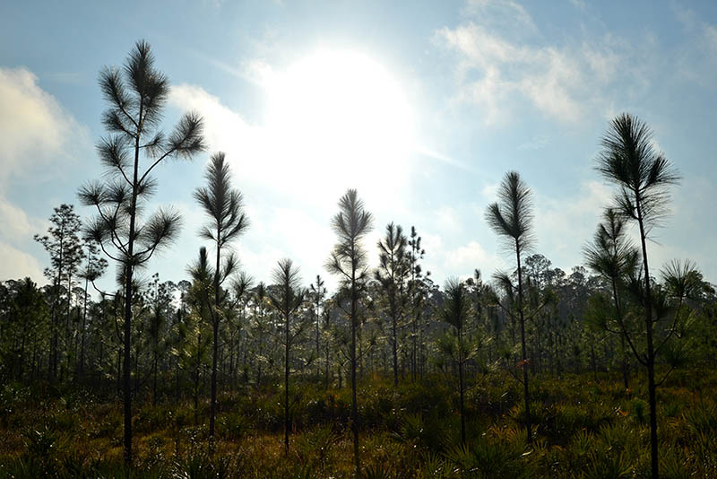
Sun

In Summer

Entrance
![]()