Power Line Trailhead at Pellicer Creek Conservation Area
Location and Trail Maps Plus Images and Hiking Information
Flagler County
Palm Coast, Florida
Entry Fee: None
Traffic: Light
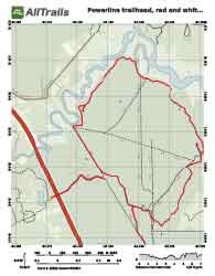
PDF Trail Map ^
Interactive Trail Map at AllTrails >
The Power Line Trailhead into Pellicer Creek Conservation Area sends you into about 6 miles of trails that are mostly used for horseback riding, but

Into the Woods
serve some nice hiking opportunities as well. This trail head is only about one half of a mile from Pellicer Pond: one quarter mile east on Old Kings Road, a left, and one quarter mile down Princess Place Road (on your way to Princess Place Preserve) and hard to miss on your left. You will find ample room to park your horse trailer as well as a restroom.
There are two main trails, a red blaze and a white blaze trail. The red trail leads into Princess Place Preserve and arcs back to the white blaze trail, forming a loop of approximately 7.5 miles. Additionally, from the map below, you can see where the hiker or horseback rider can take a short, out-and-back on an arm of the white blaze trail leading to a land bridge over the highway, I-95, and to the Florida Agricultural Museum. Some places are tricky to stay on the route, and I strongly suggest using the maps below.
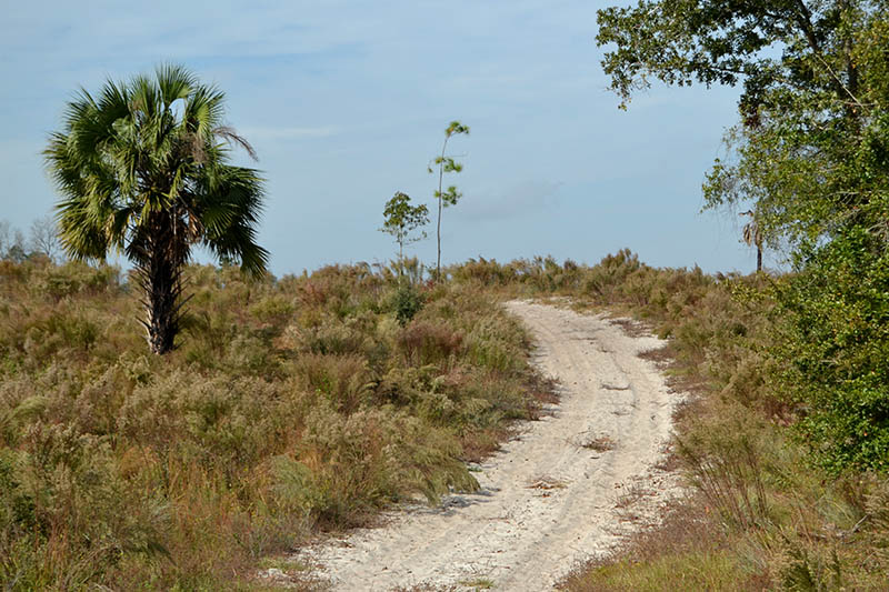
Uphill Through Sugar Sand
The trails are used primarily for horseback riding and include the Raymon Tucker Trail (the aforementioned white blaze arm) but hikers are welcome. I met many friendly riders. Although this loop is not of great length, you will encounter soft sand which makes the nearly 8 miles challenging.
Trail Images Below
![]()
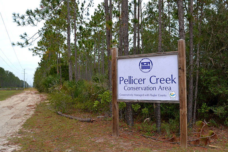
Entrance

Hence, the Name

Buckeye Butterfly
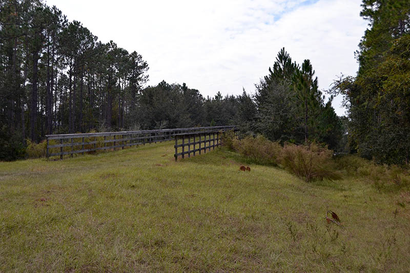
Wildlife Bridge Over Highway