Hiking Silver Springs Connector Trail
CLOSED Hiking Trail
CLOSED – Appears Permanently
Updated May 1, 2021
![]()
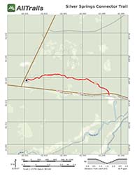
PDF Trail Map ^
Interactive Trail Map at AllTrails >
CLOSED
Updated May 1, 2021
Part of the Marjorie Harris Carr Cross Florida Greenway, hiking Silver Springs Connector Trail is a local’s joy. It offers a short, 3-mile there and back trail great for a hike, jog, or a run any time of the year and not far outside of Ocala, Florida.

Entrance
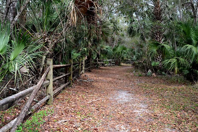
The look and feel of this subtropical forest of sabal palm and laurel oak will make you wish it were raining with its organic and earthy feel.
Just two and a half miles from Silver Springs Forest Conservation Area, in case you want to make more of a day of it, you’ll find the entrance with an easy to spot sign and ample parking just off of Fort Brooks Road (FL-40) on NE Highway 315 in Fort McCoy, just outside of Ocala.
The trail is easy to follow, and you will find yourself alone among the cabbage palm, laurel oak, and southern magnolia.
Once you reach a bridge overhead, Ray Wayside Park is just in front of you with a closed gate. Then it is time to turn back or have your entrance fee ready.
Trail Images Below
![]()
Trailhead

Trail
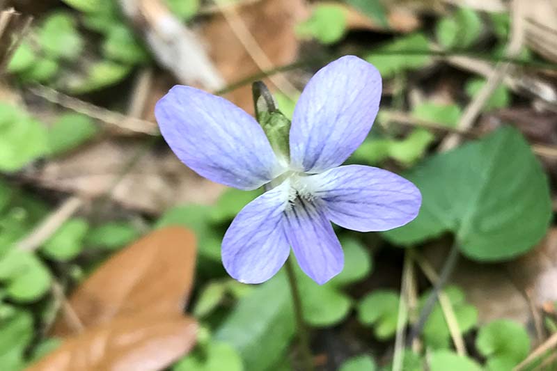
Wild Petunia

Cabbage Palm

Southern Magnolia

Overpass – Turn Back